Lhasa & Kham (East Tibet Tour)
Trip Overview of Lhasa & Kham (East Tibet Tour)
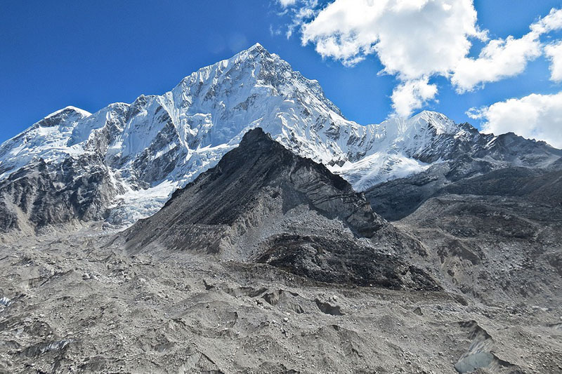
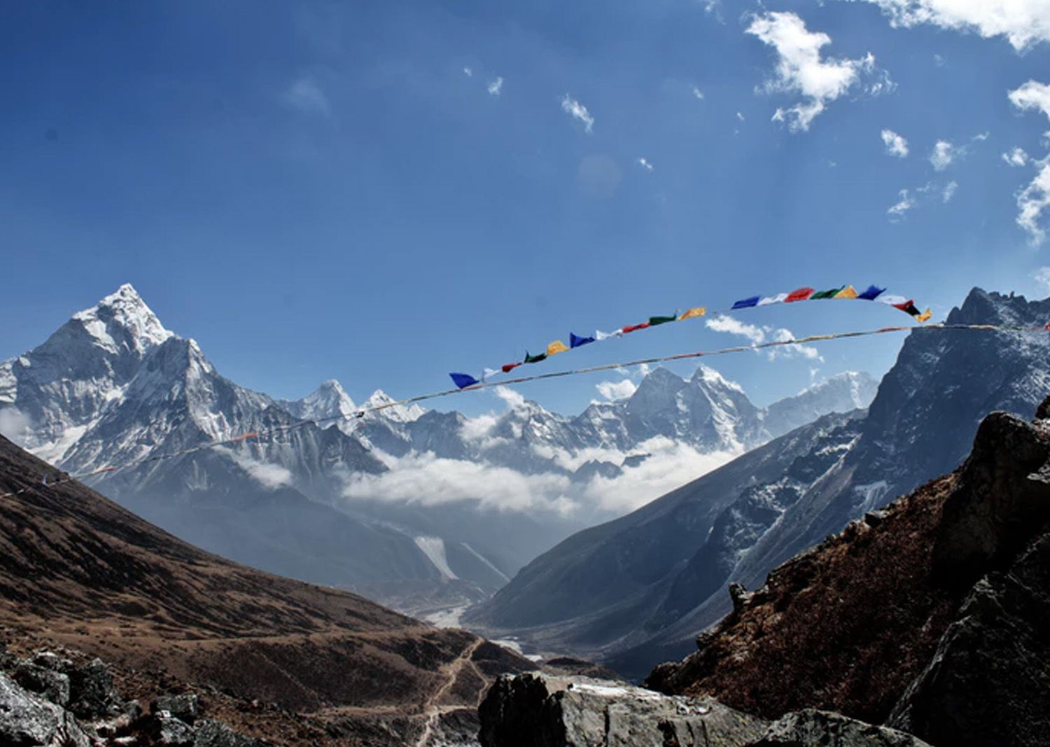
The southeastern province of old Tibet, known as Kham, is an area of great natural beauty and cultural significance. High, snow-capped mountains and raging rivers give the region a wild and untamed character. Likewise, the people of Kham are known for their independent spirit and devotion to traditional Tibetan values. The most populous area of Tibet, Kham is rich in resources and history,Not long after the peaceful liberation of Tibet the government of China reorganized the country.
Now Kham is divided among Tibet Autonomus Region, Sichuan and Yunnan provinces of the People’s Republic of China. Nevertheless, traditional Tibetan culture thrives in these rugged and remote mountain ranges. Little-known to the outside world, much of mountainous Kham remains pristine, and until recently, rarely visited by outsiders.
Detail itinerary of Lhasa & Kham (East Tibet Tour)
-
DAY 01
Lhasa to Bagsum Tso (3540 m)
This beautiful alpine lake, also known as Bagsum-tso and Basong tso, is a long day drive from Lhasa and a worthy 41km detour off the Sichuan-Tibet Hwy. Apart from the sheer beauty of the lake and its surrounding 6000m plus peaks, the site has strong connections of Gesar of Ling, the semi-mythical ruler of eastern Tibet, and Guru Rinpoche, the Indian sage, both of whom are said to have resided at the lake. Many pilgrimage sites are connected to the two.
-
DAY 02
Bagsum Tso to Bayi (2990 m)
Bayi is a large Han Chinese military town of minor interest, except perhaps as a base from which to visit the surrounding sights or restock your supplies. Bayi in Chinese means 1 August, the founding date of the PLA. It is 125 km from Bagsum-Tso.
-
DAY 03
Bayi to Pomi (3000 m)
Formerly known as Tramo, this small country capital has well-stocked shops and several hotels and restaurants, making it a logical place to spend the night. In clear weather the surrounding scenery is strpendous.
-
DAY 04
Pomi to pasho (m)
Pasho (Chinese: Bashe), fromerly known as pema (Baima), is a pleasant town that makes for a good overnight stop. Explore around Pasho visit Neru Monastery & Dola Monastery.
-
DAY 05
Pashu to Markham
Markham, traditionally known as Garthog Dozong, is where the Vigilant PSB commonly catches permit less hitchhikers from Sichuan and Yunnan. At Markham the road splits. The southern branch runs 112km over a pass to Yanjing (salt well) and the border with Yunnan, continuing on the Seqin. Yanjing used to be Tibet's major source of salt, once an essential commodity in these parts.
-
DAY 06
Markham to Litang (4680m)
Surrounded by snowcapped peaks and resting on open grassland, Litang is a pleasant and friendly place to hang out for a couple of days. A horce-racing festival from 1 to 7 August sees the town swells with Tibetan visitors.
-
DAY 07
Litang to Ganzi (3400m)
The noisy market town of Ganzi (also spelled Kandze and Garze) sits in a valley at 3400m, surrounded by the sleeping giants of the Trola (Chola) range, and is a natural place to break the Trip. The gergeous surrounding countryside is peppered with Tibetan villages and resrgent monasteries.
-
DAY 08
Ganzi to Manigango
The road winds through deep gorges and pretty Tibetan villages before ascending to the wild and craggy scenery of the 4916m, Tro-la in the east of Derge. From the pass, the road descends to the crossroads of Manigango. Yilhun La-tso, a stunning, holy alpine lake bordered by chortens and dozens of rock carvings is about 13 km before reaching Manigango. The lake is backed by the huge glaciers of 6018m Trola peak and it's possible to walk an hour or two up the left side of the lake shore for glacier views.
-
DAY 09
Explore Around Manigango
Resting in a valley between the Tibetan border and the Trola (Chola) range to the east, Derge forms the cultural heartland of Kham. While the Chinese influence is evident and growing ripidly in the town, the old town and surrounding villages are very much Tibetan. There are many historically important monasteries in the valleys south of Derge, namely at pelpung (chinese: Babang), Dzongsar, pewar (Baiya), Kathok and pelyul (Baiyu).
-
DAY 10
Manigango to Derge (4000m)
Chamdo (literally river confluence; Chinese: Changdu), located at the strategic river junction of the Aza-chu and the Ngon-chu, is a surprisingly pleasant town. It is dominated by the hilltop Jampaling Monastery, below which huddle the Tibetan old town and the Chinese new town. Over 1000km from Lhasa and 1250km from Chengdu, the town is the major transport, administrative and trade centre of the Kham region. Chamdo has had a troubled relationship with nearby China. The Chinese warlord Ahao Erfeng captured Chamdo in 1909 and ruled the region until the Tibetans recaptured in 1917. Chamdo fell to Communist troops in 1905.
-
DAY 11
Derge to Chamdo (3600m)
Tengchen (Chinese: Dingqing) is an unremarkable but reasonably pleasant two-street town. Its possible to make calls at the town's telecom office. BothTengchen and the surrounding region of Khyungpo are strong centres of the Bon religion. The main reason to stop here is to visit Tengchen Monastery, on a hillside 4km west of town. This interesting Bon monastery is actually made up of two separate institutions.
-
DAY 12
Chamdo to Tengchen (4200m)
Sok's claim to fame is the impressive sok Tsaden Monastery, set on an outcrop in the northwestern suburbs. The monastery, founded by the Mongol leader Gushri Khan, brings to mind a miniature potala. The road from Tingdhen swings north and starts to climb up to the stunning shel-la (4830m), the highest and most dramatic pass along the northern route. The road continues past the village of Gubengda, Gyaruptang and Wengdaka and then climbs yet again to the 4500m Chak-la, where turn a corner for a dramatic view of one of the Salweens many tributaries
-
DAY 13
Tingchen to Sok D ZONG
Nagchu (Chinese: Naqu) is one of the highest, coldest and most windswept towns in Tibet. Perched on the edge of the Changtang (northern plateau), it is a dismal town of mud and concrete, but is still an important pit stop on the road between Qinghai and Tibet. Its a literally breathtaking place: Oxygen levels here are only 60% of those at sea level, so be prepared for headaches and watch for the symptoms of altitude sickness. Bring extra clothes, even in summer. Nagchu has a horseracing festival from 10 to 16 August, when the town swells with up to 10,000 nomads and their tents from all over the Changtang. Accommodation can be very tight at this time.
-
DAY 14
Sok D Zong to Nagchu (4500m)
The road south of Nagchu is the Qinghai Tibet HWY, the busiest and most strategic highway in Tibet.The road cross the Goluk Bridge, 109km from Nagchu, and climbs to the Chokse-la, where Tibetans throw into the air the paper prayers they bought at Nagchu bus station. 128 km from Nagchu and 40 km from Damxung is the Chorten Rango, a line of eight chortens that commemorate the eight main events in the life of Sakyamuni (Sakya Thukpa). Damxung is the turn-off Nam-tso. Approximately 190km northwest of Lhasa is the second largest saltwater lake in China, the first being Koko Nor (Qinghai Lake) in Qinghai province. It is over 70km long and reaches a width of 30km.The Nyenchen Tanglha (Tangula) range, with peaks of more than 7000m, twoers over the lake to the south. Nam-tso is a tidal lake and t he ring marks of earlier lake levels are clearly visible by the shoreline.
-
DAY 15
Nagchu to Namtso Lake (4718m)
The monastery dates back to 1056. It was initially associated with Atisha (Jowe-je) but in its later years had an important connection with the Gelugpa order and the Dalai Lamas. Two regents the de facto rulers of Tibet for the interregnum between the death of a Dalai Lama and the majority of his next reincarnation where chose from Reting abbots. The fifth Reting Ringoche was regent from 1933 to 1947. He played a key role in the search for the current Dalai Lama and served as his senior toutor. He was later accused of collusion with the Chinese and died in a Tibetan prison. It was devastated by Red Guards and its present remains hammer home the tragic waste caused by the ideological zeal of the Cultural Revolution. Still, the site is one of the most beautiful in the region. The Dalai Lama has stated that should he ever return to Tibet it is at Reting, not Lhasa, that he wold like to reside. Reting is 28 km from Phongdo village, which has a ruined dzong.
-
DAY 16
Namtso Lake to Phondo and Via Reting Monastery (4100m)
-
DAY 17
Rateng to Lhasa
-
DAY 18
Rest
-
DAY 19-20
Sightseeing around Lhasa
-
DAY 21
Departures to Airport
Cost includes and excludes
Check the cost inclusion and exclucion of Lhasa & Kham (East Tibet Tour)
Service Includes
- Twin sharing different standard accommodation as per different category package with breakfast.
- All necessary transportation by 4 WD Toyota Landcruiser.
- Sightseeing tour as per the Program, an English speaking Guide and monastery entrance fees.
- China/ Tibet visa fees, Tibet permit and necessary domestic and international flight as per itinerary.
Service Excludes
- All expenses of personal Nature.
- Nepal re-entry visa fee and airport Departure Tax
- Charge for photography, air ticket reconfirmation fee and Insurance etc.

