Darjeeling Sikkim Tour
Darjeeling Sikkim Tour
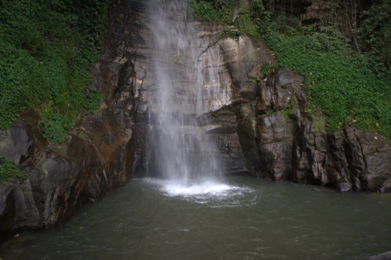
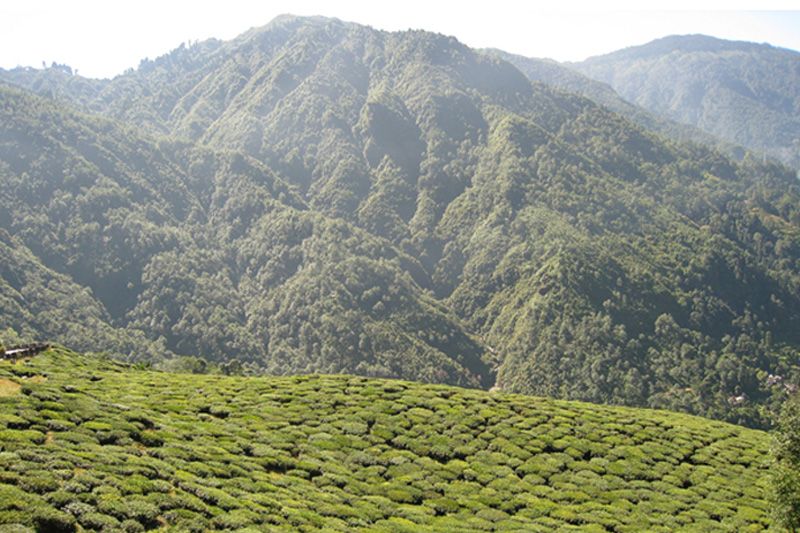
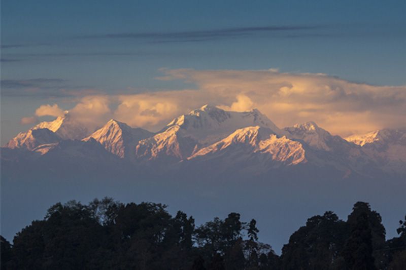
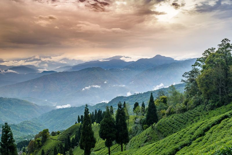
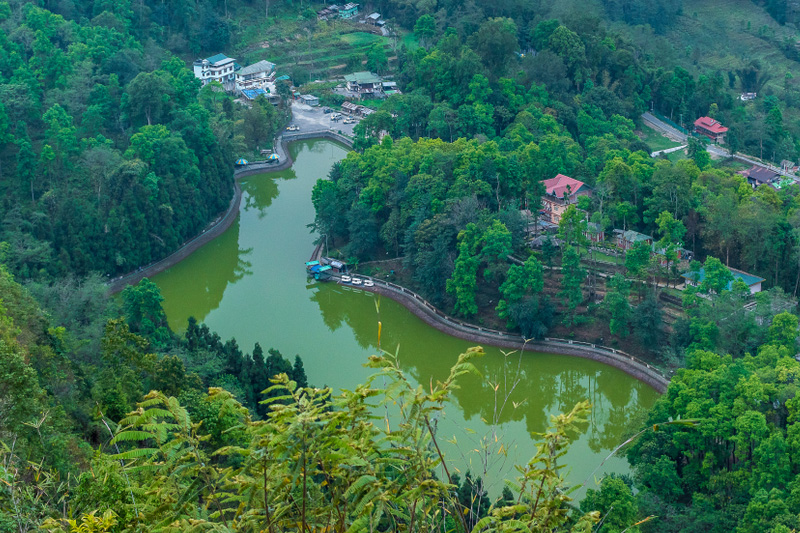
Darjeeling The Darjeeling district with a geographical area of 3,149 sq.kms., is an irregular triangle in shape. The Northern boundary commences on the west at the peak of Phalut nearly 3657.6 meters high,the junction of the boundaries of Nepal and Sikkim. This boundary runs east from Phalut along a ridge descending to the Ramam river. From there , the boundary follows the course of that river until it joins the Rangit and then follows the great Rangit until it reaches the Tista.Proceeding east of that junction, the boundary follows the Tista upstream until its junction with the Rangpochu,thence it proceeds first up the Rongpochu and then up the Rushattchu, thence the Rushattachu and Sikkim and Bhutan boundary as marked by pillars to the Nechu to its junction with the Dochu or Jaldhaka, thence in that river southward until the Jalpaiguri district is reached in the Khumani forest. On the west , the district is bounded by Nepal. From Phalut, the western boundary follows the southward ridge until it joins the Mechi river which continues as the boundary right upto the plains, thence by the boundary of Nepal the south-western corner of the district. On the south lies the district of Purnea and West Dinajpur intercepted by the Mahananda river and on the east, the district is bounded by Bangladesh and the Jalpaiguri district. The natural features consist of a portion of the outlying hills of lower Himalayas and a stretch of territory lying along the base of the hills known as the Tarai. The Tarai is only 91 meters high above the sea level, but there are parts of the district in the hills which are nearly 3657.6meters high. The hill portion of the district is like a labyrinth of ridge and narrow valleys. There are no open valleys or plains or lakes. Most of the ridges are forest clad and in the lower slopes, tea plantation and crop cultivation are done. Sikkim Sikkim is a landlocked Indian state nestled in the Himalayas. It is the least populous state in India and the second-smallest in area after Goa. The thumb-shaped state borders Nepal in the west, Tibet Autonomous Region of China to the north and east, and Bhutan in the southeast. The Indian state of West Bengal borders Sikkim to its south. The official language of the state is English, but there is a sizable population that converses in Nepali (the lingua franca of the state), Lepcha, Bhutia, and Limbu. It is the only state in India with an ethnic Nepalese majority. It is an ancient land also known as Indrakil, the garden of Indra, the king-god of heaven in Hindu religious texts. The predominant religions are Hinduism and Vajrayana Buddhism. Gangtok is the capital and largest town. Despite its small area of 2,745 sq mi (7,110 km²), Sikkim is geographically diverse due to its location in the Himalayas. The climate ranges from subtropical to high alpine. Kangchenjunga, the world's third highest peak, is located in the northwestern part of the state on the boundary with Nepal, and can be seen from most parts of the state. Sikkim is a popular tourist destination for its culture, scenic beauty and biodiversity. Gangtok (Capital of Sikkim) The capital of Sikkim, is a unique hill resort of northeast India and undoubtedly one of the most oft-visited ones. Perched on the ridge of a hill at an altitude of 1700 mt, Gangtok is famous for its scenic beauty and spectacular views of the Kanchenjunga, their highest mountain in the world. The town offers a mild temparate climate with a temperature of around 23 degree centigrade in summer and around 6 degree centigrade during winter. This hill resort is 110 km from Siliguri and well connected with other major places of the region
Sikkim Tour
Sikkim, the small but beautiful kingdom is situated in the eastern Himalayas. Sikkim is termed as the Switzerland of the east, a heavenly paradise on earth spread below the Mount Khanchendzonga (8534 mts), the third highest mountain in the world, and revered by the Sikkimese …- Duration: 6 Days
- Grade: Easy
- Max Altitude: m.
Queen of Hills Tour
Queen hills tour is exciting route to discover the jewels of Himachal Pradesh. Spread in the northern region of India, Himachal Pradesh is one of the coveted destinations highly desired for its snowy mountains, lofty hill stations, gorgeous apple orchards and high altitude deserts. The …- Duration: 78 Days
- Grade: Easy
- Max Altitude: m.
Kanchenjunga (GOECHALA) Trek
Goechala is one of the most classical routes in Himalayas. The magnificent Kanchenjunga dominates the beautiful valley you walk through on the way to the Goechala viewpoint.The entire trekking is spectacular: you walk up from the tropical jungle above Yuksom, to the glaciers at almost …- Duration: Days
- Grade: Easy
- Max Altitude: m.
Kalimpong and surroundings Tour
Kalimpong is located at an average elevation of 1,250 metres (4,101 ft) which is a hill station in the Indian state of West Bengal.- Duration: 8 Days
- Grade: Easy
- Max Altitude: m.
Green Lake Trerkking in Sikkim
Green lake that resides at an altitude of 1437m, in Sikkim in among the most popular lake in Sikkim. It offers a stunning view of Kanchenjunga and other magnificent peaks as this route is taken by mountaineers to climb Mt. Kanchenjunga which is the world’s third …- Duration: 14 Days
- Grade: Easy
- Max Altitude: m.